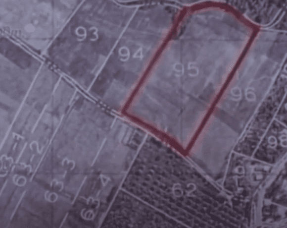
Introduction: The Enigmatic North Pole and Ancient Mythologies
The North Pole has long been a source of fascination, shrouded in mystery and steeped in ancient mythologies. These mythologies often describe it as a place of great power and wonder, complete with a magnetic mountain, four directional rivers, and other fantastical features. In Eric Dubay’s book “Flatlantis,” he highlights the astonishing consistency of these mythologies. But what do the earliest explorers, historians, and cartographers have to say about the North Pole? To uncover the answer, we must delve into the world of early polar maps. For a more immersive experience, we highly recommend watching the informative video linked below.
Ptolemy’s Early Map of the North Pole
One of the earliest known maps of the North Pole was created by Ptolemy, the Greek geographer, in the 2nd century AD. Ptolemy’s map depicted a large island called Thule, believed to be the northernmost point of the Earth. This map provides a unique insight into the ancient understanding of the North Pole and serves as an essential starting point for exploring early polar cartography. To learn more about Ptolemy’s map and the implications it holds for our understanding of the North Pole, be sure to watch the video we’ve recommended.
The Middle Ages and Four Directional Rivers
Several maps from the Middle Ages show four rivers flowing from the North Pole in different directions, consistent with many ancient mythologies. These maps reveal the enduring significance of the North Pole in medieval cartography and hint at the potential connections between ancient mythologies and historical understanding. To explore these connections further, we encourage you to watch the thought-provoking video linked in this article.
Gerardus Mercator’s 16th-Century Polar Map
In the 16th century, Gerardus Mercator, a renowned cartographer, created a map of the North Pole that depicted a large island surrounded by four rivers. Mercator based his map on accounts from explorers who claimed to have seen these features firsthand. This map offers an intriguing perspective on the North Pole and raises questions about the accuracy of modern polar cartography. For a more in-depth analysis of Mercator’s map and its implications, don’t miss the video we’ve suggested.
Admiral Richard E. Byrd and the North Pole Landmass
Famed explorer Admiral Richard E. Byrd added to the mystery of the North Pole when he stated that it contained a landmass, rather than merely an ocean. Byrd’s claims lend further credence to the notion that our understanding of the North Pole has evolved and been shaped by various influences throughout history. To hear more about Byrd’s experiences and the questions they raise, be sure to watch the fascinating video mentioned in this article.
Modern Depictions vs. Historical Accounts
The modern depiction of the North Pole as a random point in a frozen ocean stands in stark contrast to early maps and accounts. This discrepancy begs the question: What is the truth about the North Pole? By examining early polar maps and accounts, we can gain insight into the shifting narrative surrounding the North Pole and question the validity of contemporary maps. To delve deeper into this topic, we highly recommend watching the captivating video linked below.
Conclusion: Seeking the Truth in the Flat Earth Model
The consistent ancient mythologies and differing perspectives of early explorers, historians, and cartographers invite us to explore the North Pole’s role in the Flat Earth model. By investigating these early accounts and maps, we can gain a better understanding of the mysterious North Pole and consider alternative perspectives that challenge mainstream beliefs. To fully appreciate the depth of this enigmatic subject, we highly recommend watching the accompanying video, which further unravels the mysteries of “Flatlantis” and Eric Dubay’s journey to uncover the truth.